TfL Topographical Test — Official Format 2026
Based on the official TfL Topographical Assessment Guidelines (content.tfl.gov.uk).
The TfL Topographical Skills Assessment is a computer-based test taken at the TfL assessment centre. You only need a basic understanding of how to use a mouse — no typing required. Source: Official TfL Topographical Assessment Guidelines (PDF).
Official sections
- Route Planning essentials — true/false based on a route scenario
- Planning a route between two locations — 3 questions: 1 short, 1 short with a road closure, 1 long (66 marks total)
- Understanding map symbols — multiple choice
- Finding places of interest — multiple choice
- Finding specific streets — multiple choice
- Identifying road numbers — multiple choice
- Compass points and directions — multiple choice
Some MCQ questions have one answer, some have two — the question makes this clear. The 34 MCQ marks are split across sections 3–7.
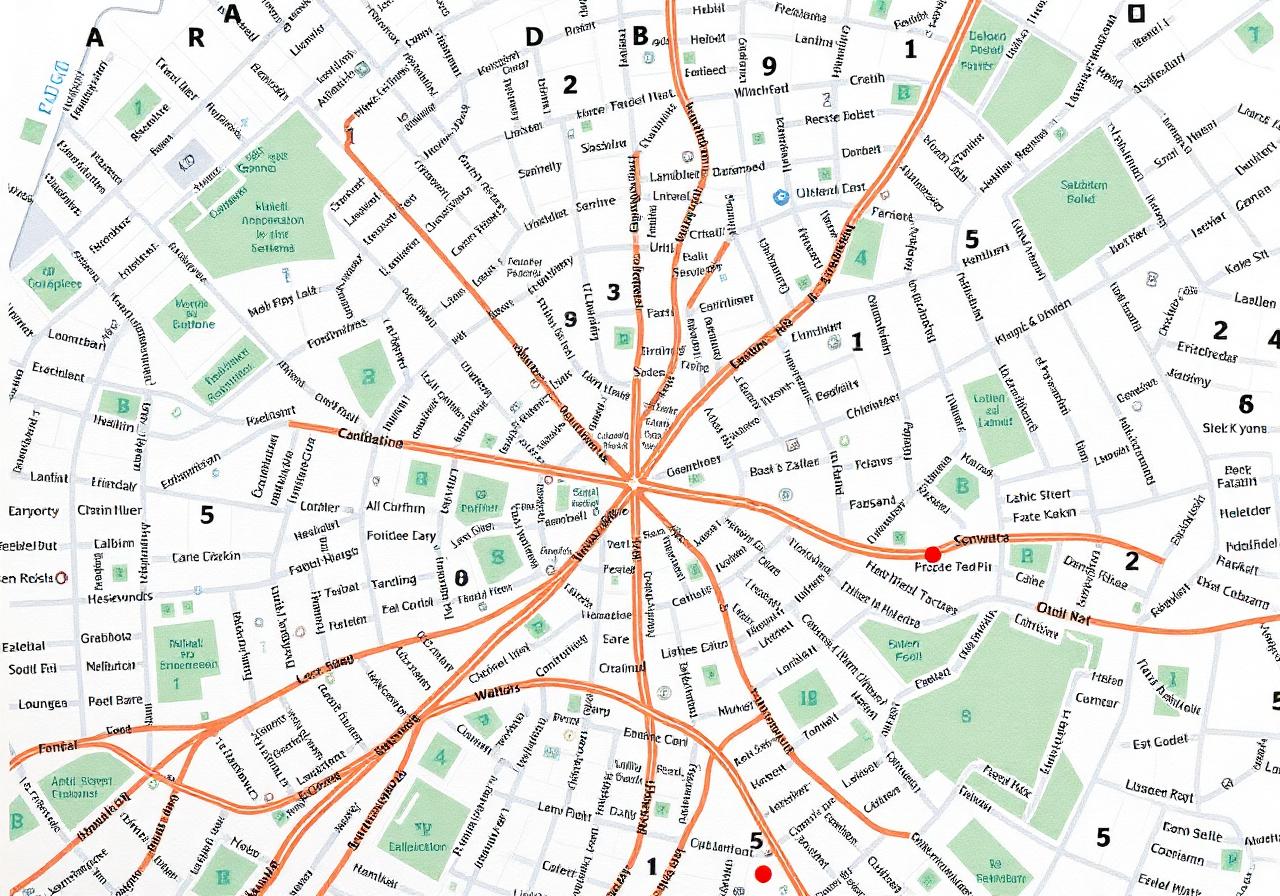
These test your ability to use the A–Z Greater London Atlas to find streets, towns, places and points of interest. The atlas is provided at the centre — you do not need to bring one.
How they work
- Find the page number and grid reference for an address using the index.
- Grid references use letters (top/bottom) and numbers (left/right).
- 17 questions, multiple choice, 1 mark each — total 17%.
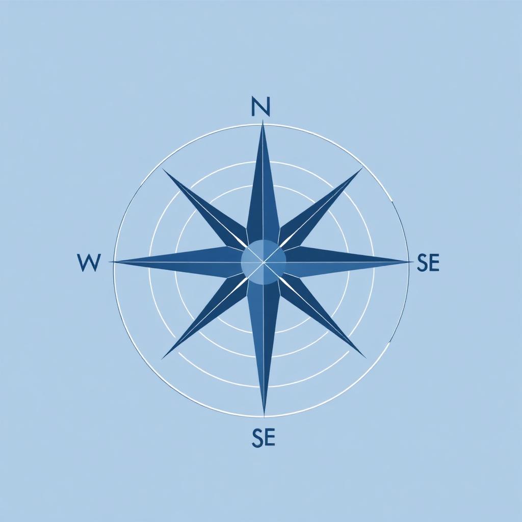
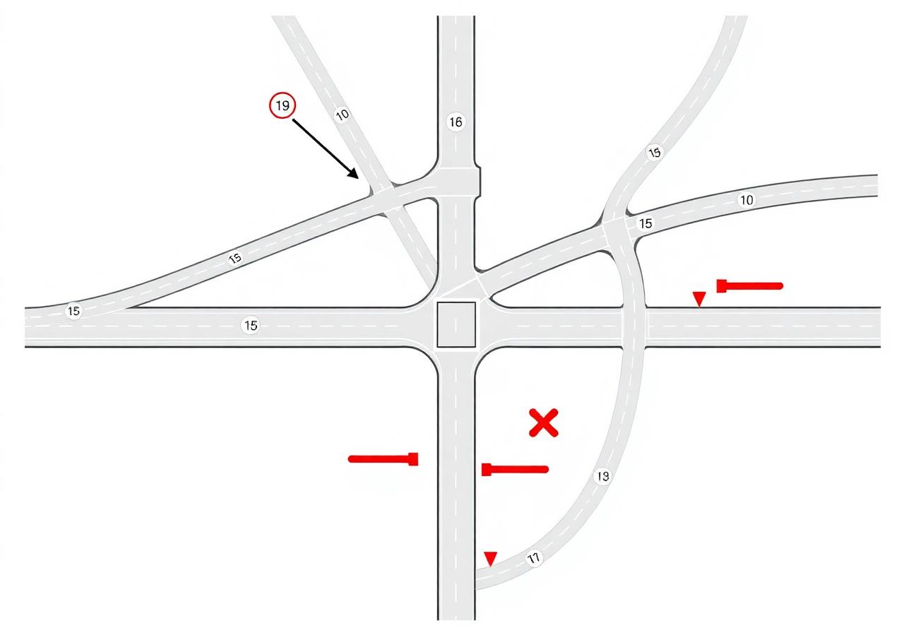
Test your understanding of the compass and your ability to identify directions, navigate junctions and follow one-way streets while avoiding blocked roads.
- Identify direction of travel from A to B (N, NE, E, SE, S, SW, W, NW).
- Choose the most direct junction sequence — respect one-ways and blocks.
- 4 questions, 2 marks each — total 8%.
Trick warning: answers often look very similar. Check every junction number in the sequence — one missing number changes the answer.
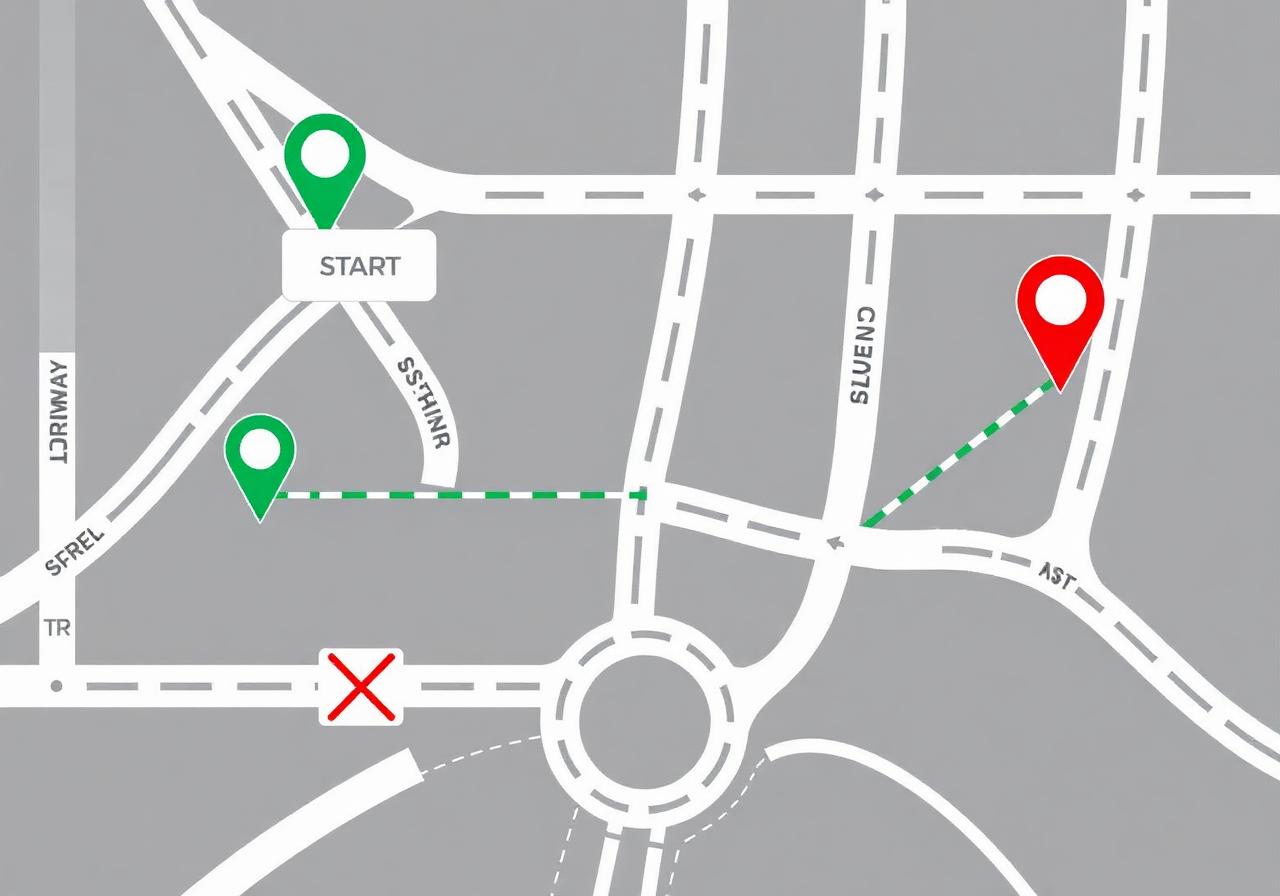
Use the specialised map drawing software to plot a direct route from a green start marker to a red end marker. You may be told certain roads are closed and must avoid them.
Golden rules
- Stay as close as possible to the straight line between start and end.
- Plan the route before drawing — especially for longer routes.
- Respect one-way arrows; never cross dead-ends or closed roads.
- Draw on the left-hand side of the road.
4 types of route planning questions
- Closed roads — avoid the marked street.
- Tunnel routes — Rotherhithe, Blackwall, Limehouse Link.
- Long routes — same rules, more distance.
- City routes — shorter, restricted access and pedestrian zones.
Basics
- Two-way roads
- One-way roads
- Roundabouts (not all are circular!)
Pass-through features
- Railway lines
- Foot bridges
- Foot paths
Avoid
- Restricted access
- Pedestrian zones
- Dead ends
- Closed roads
Advanced (most failures)
- Central reservations
- Roads on top of one another
- Flyover roundabouts
- Unmarked one-ways
- Tunnel routes
The test is harder than it looks. Most candidates underestimate it — relying only on memorising routes from YouTube usually fails because routes change and the software differs.
- Spend most of your study time on Part 1 (route planning) — it carries the most marks.
- Learn the rules for every map feature, not just memorising routes.
- Practice the most common routes after mastering the rules.
- Drill tunnel and closed-road routes — they trip up most candidates.
- For Part 2: practise A–Z index lookups and memorise the 8 compass directions.
- Do mock tests under timed conditions to build speed and confidence.
- 1
Relying only on YouTube routes
Routes change and the test software is different. Learn the rules — don't just memorise one specific route.
- 2
Ignoring one-way arrows
The most common mistake in Part 1. Always check the direction of the road before drawing your route.
- 3
Drawing on the wrong side of the road
Always draw on the left-hand side. Drawing on the wrong side loses you marks.
- 4
Missing closed roads in the brief
Read the instructions carefully — closed roads are listed before each question.
- 5
One missing junction number
Compass answers look very similar. Check EVERY junction number in the sequence — one missed number changes the answer.
- 6
Spending too long on a single question
90 minutes / 25 questions ≈ 3.5 minutes each. If you get stuck, move on and come back later.
- 7
Misreading A–Z grid references
Letters (top/bottom) and numbers (left/right) come first. Don't confuse the index page with the map page.
- 8
Forgetting central reservations & flyovers
These are the hardest map features and where most candidates fail. Study them carefully.
- 9
Arriving without practising the atlas
The atlas is provided, but if you've never used one, finding the page and grid will be slow.
- 10
Panicking when the timer hits 10 minutes
Practise timed mock tests so you get used to working under time pressure.
Ready to practise?
Try our Topographical mock test in Practice, Mock or Exam mode.